Mapping the Future of Sustainability with Geospatial Services

Sustainability has emerged as a top priority for corporations. A growing number of companies are turning to geospatial services as a means to save costs and fund sustainability initiatives. In addition to cost savings, organizations are leveraging geospatial services to enhance both internal & customer-facing operations, making them seamless and sustainable at the same time.

18

Operating cost reduction in customer service

14

Reduction in fleet size

 
13

Reduction in work hours per delivery


*By a recent study conducted by Oxford Economics & Google Maps Platform on leading global companies which have implemented geospatial services at some level. A portion of these savings have been reallocated into sustainable initiatives.

In What Ways Can Geospatial Services Enhance?

Customer Experiences
Providing localized information on proximity to business locations to help customers make informed decisions about where to shop, visit, or live
Helping customers find nearest store, branch, or other locations
Helping customers recognize & understand their transactions
Simplifying address entry to help customers when they are searching, signing-up, or checking out
Internal Operations
Visualising geospatial data helps executives make better business decisions & improve operational efficiencies
Identify how processes are carried out, thereby investing in process innovations
Reducing/optimising number of trips to make same number of deliveries/services appointments
Reducing fuel consumption & making supply chain operations more efficient

What's new?

Eco-friendly Routing
Part of the new Routes API, which is an advanced version of Distance Matrix & Directions API
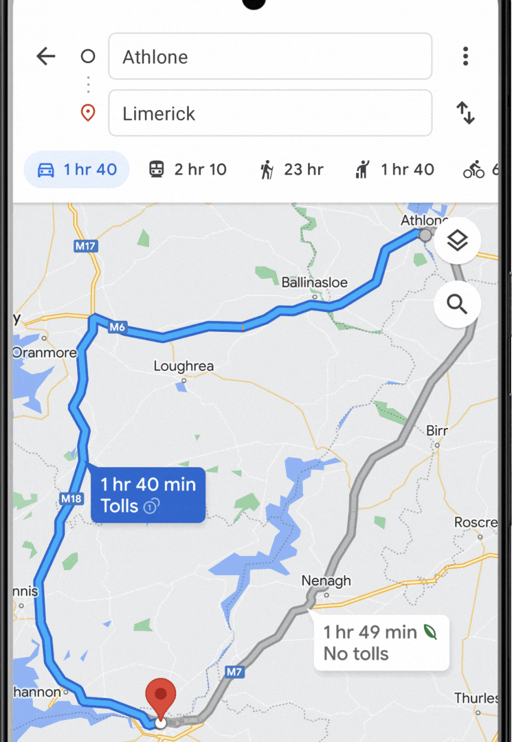
Enable eco-friendly route options across your products and applications
Select engine type (diesel, gas, hybrid, or electric) for more accurate fuel savings
Estimate fuel usage from single trips to multiple trips and even entire fleets
Also has features like, 2-wheeler routing, option to specify waypoints as pass-through or stopping point & much more
image-1
Calculate carbon emissions by getting
accurate data of how much distance your fleet
traveled
Use Routes API that includes multiple waypoints
Customise algorithm developed by Searce
image-2-2

Special Credits for Startups focusing on Sustainability!

Get in touch with Searce's team now!